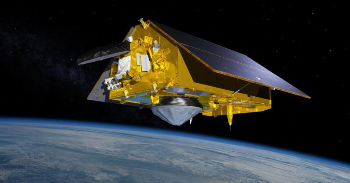

A major ocean-observing satellite is starting to provide science data. Sentinel-6 Michael Freilich, the latest spacecraft to monitor sea surface height, will release its first science measurements to users.
After six months of check-out and calibration in orbit, the Sentinel-6 Michael Freilich satellite will make its first two data streams available to the public on June 22.
It launched from Vandenberg Air Force Base in California on Nov. 21, 2020, and is a U.S.-European collaboration to measure sea surface height and other key ocean features, such as ocean surface wind speed and wave height.
One of the sea surface height data streams that will be released is accurate to 2.3 inches (5.8 centimetres) and will be available within hours of when the instruments aboard Sentinel-6 Michael Freilich collect it.
ALSO READ: NASA Venus missions: NASA has selected two new missions to Venus